SGID Base Map and Imagery Services
Do you need a quick base map for your GIS, CAD, or web services? AGRC provides several multiscale base map and imagery service options that deliver pre-rendered base map tiles to your platform as fast as your internet connection will allow.
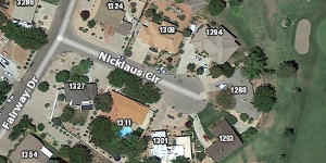
Imagery plus overlay

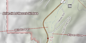
Terrain

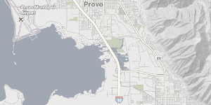
Lite

If you want to use the AGRC base maps, you’ll need to request a free account so we can create a quad word key for you.
AGRC’s Discover cloud-base server provides imagery and base map services in OGC-standard WMTS and WMS formats in the Web Mercator WGS84 projection (wkid: 3857). Discover provides over 20 services that are free to use (however, a few services do require a signed license agreement).
Each cache consists of around 3 to 17 million 256-pixel square tiles ranging from 15G to over 200GB. These caches use the subset of the Google, Microsoft, and esri scale levels that apply to our state. The update schedule will keep you in the loop as to when the tiles were last updated. If you would like to download imagery, visit the aerial photography data page.
The Services on Discover
The Terrain base map highlights the natural form of the land. It features mountain peak elevation labels, contour lines, and locations of ski resort locations and other places of interest.
We also provide a minimal base map called Lite. It has muted colors that don’t distract from data overlaid on top of it.
Discover includes aerial imagery as well, including the Utah base map. This layer shows either the 2018 NAIP or the latest Google aerial photography depending on your zoom level. For licensing reasons, you will need to qualify for an organizational account login to use to this base map.
Don’t fret if you don’t qualify for the licensed imagery! The current and historical NAIP imagery layers are available for all users. These layers come in normal-color (RGB) and false-color infrared (NRG) versions.
Overlay is an exciting layer that displays styled roads and place names on an otherwise transparent set of tiles, which allows it to be overlaid on other data as a reference layer. The Hybrid layer combines this with the Utah base map for an attractively labeled imagery base map.
Discover also includes the Topo and Address Points base maps. The Topo map displays the most relevant USGS quad sheet (i.e., 250K, 100K, or 24K) depending on your scale. The Address Points layer lets you quickly and easily view around 2.5 million address points.
