By JP on Apr 27, 2015
First DNR GIS ROI Contest Concludes with Overwhelming Success
This article will take 2 minutes to read
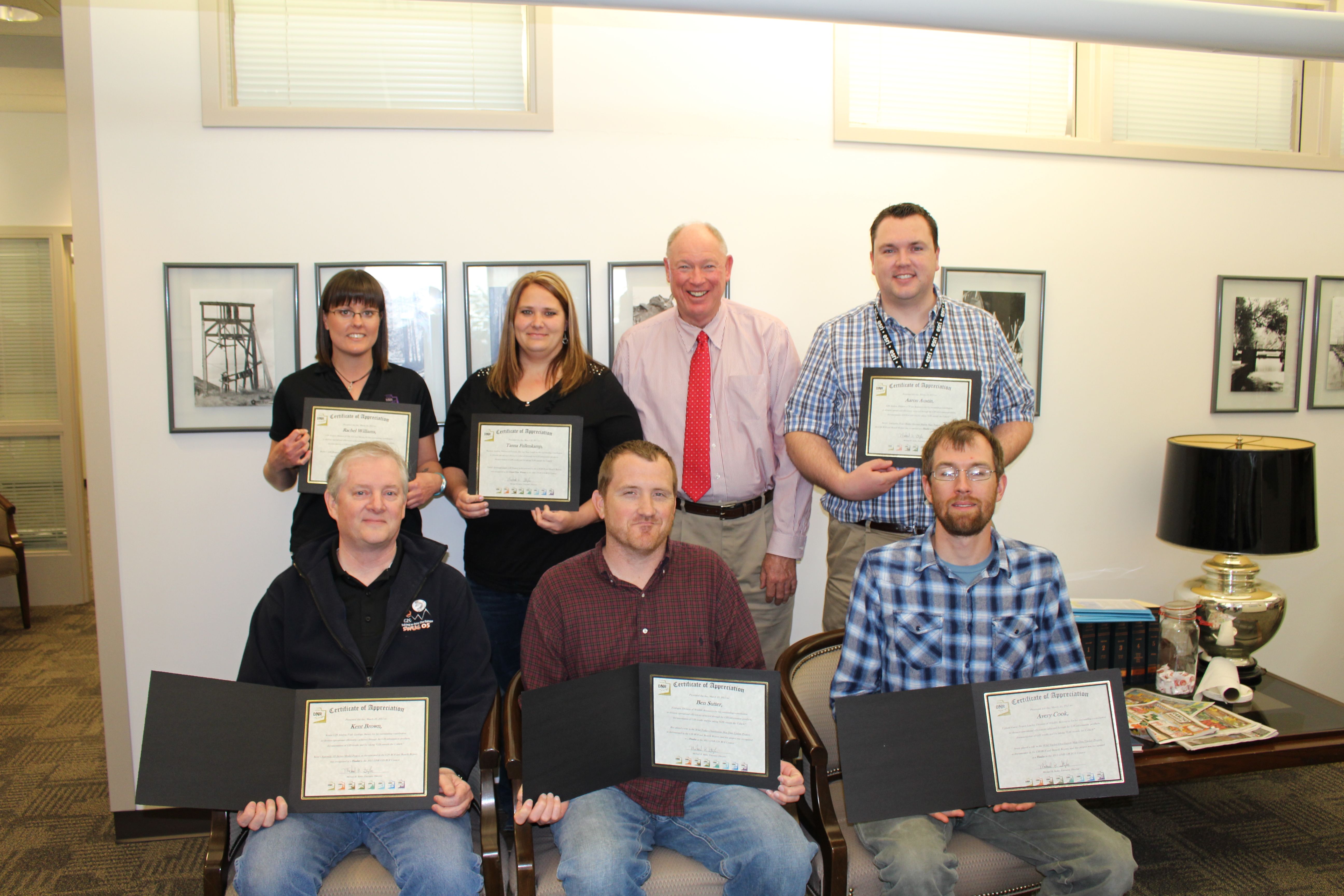
The Utah Department of Natural Resources (DNR) honored six employees from five divisions as a part of its GIS Return on Investment (ROI) Contest. Tanna Fullenkamp, from Forestry, Fire, & State Lands was named grand prize winner for her sovereign lands GIS project.
Fullenkamp’s project demonstrated effective GIS management of hundreds or thousands of records distributed throughout the state. In her case, sovereign land properties and leases can now be identified, tracked and queried spatially, which leads to less errors and more revenue. Rather than sourcing information from physical files, the lease and property data is immediately available to staff, which saves time and money while improving customer service.
Contest finalists also included Kent Brown, Utah Geological Survey, for his 3D stereo models; Aaron Austin, Division of Water Resources, for his water budget collaboration process; Rachel Williams, Division of Oil, Gas & Mining, for her GIS request form and Ben Sutter and Avery Cook, Division of Wildlife Resources, for their wild turkey distribution map.
“Each submission was an excellent example of staff initiative and creativity, problem solving, technology and information expansion and a willingness to adopt a business benefit mind set to their GIS roles,” said Wade Kloos, GIS Director. “The contest entries illustrated the significant ROI and benefits that GIS can have both inside and outside the department.”
DNR launched the GIS ROI contest last December to promote and practice the skill of documenting the ROI and other benefits derived from DNR’s various division GIS projects. Four judges, including two from outside DNR, reviewed 19 submissions and selected four finalists and one grand prize winner.
Selection criteria included the use of GIS best practices; significance of the problem/opportunity; impact of the GIS solution to the division and the impact of the solution to others outside the division. The ROI project worksheet is available to view here.

ROI Examples
Kent Brown’s creation of a statewide 3D stereo model allows geologists to view terrain in 3D, giving them new insight unavailable through standard aerial images. An estimated $30,000 was saved on one geologic project because the use of 3D models eliminated the need for numerous days in the field and travel expenses.
Aaron Austin’s GIS project replaced a labor intensive water budget planning process, including the printing of numerous maps required for staff editing. Rather than printing the maps, Aaron created an interactive map that provided better views of features at various map scales and shortened the editing time frame while creating a more effective collaborative process.
DNR has identified the following benefits from its GIS various projects: revenue growth, cost reduction, cost avoidance, increased efficiency and throughput, time savings, improved effectiveness, increase customer service and lower risk.