By Bert Granberg on Feb 21, 2014
Map Spotlight: Wind Turbines and Feature Services
This article will take 1 minute to read
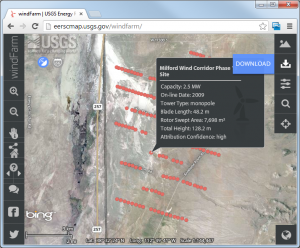
 Earlier this month, the USGS released a public-facing interactive wind turbine map and GIS dataset that depicts more than 47,000 onshore wind turbine locations. The map includes turbines installed as of July 2013 and was created by combining publicly available data sets from the Federal Aviation Administration, the U.S. Energy Information Administration, the Oak Ridge National Laboratory, as well as other federal, state and local sources.
This map is being spotlighted for 3 specific factors:
- Utah wind turbines are represented in the dataset,
- the collaborative approach to assembling and maintaining the data, and
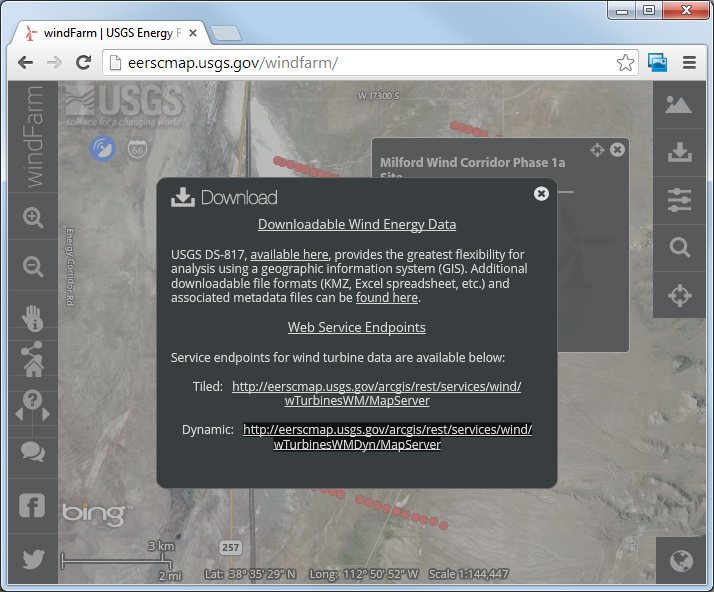
- the architecture of the map which includes the ability to download the raw GIS data and, more importantly, to use the dataset as a dynamic web service, eliminating the need to download and update the data.
Because of the dynamic feature service (see image below), we were able to reference this data in the SGID ArcGIS On Line site with virtually no effort. Even the metadata came over successfully without a hitch.
