By Jacob Adams on Jun 25, 2019
Meet Jake Adams - New AGRC Staff
This article will take 3 minutes to read
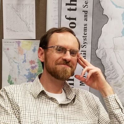
AGRC would like to welcome Jake Adams to the team! Jake will be using his GIS experience working with Cache County and Taylorsville City, as well as his Master of Urban and Regional Planning Degree, to help AGRC with the Discover service, SGID, and other AGRC efforts. We’re happy to have Jake on the team!
What’s your title at AGRC?
IT Analyst II
(So what exactly do you do?)

I do a little bit of everything—I’m part developer, part data geek, part cartographer. I’ll be handling our Discover service for licensed aerial imagery and general basemaps and helping out with the data in the SGID.
What’s your background?/How did you end up at AGRC?
When I was considering a major in geography, AGRC was the answer to “where do I want this to take me?” I had seen in class just how easy the SGID made finding and using high-quality, statewide data, and the ideals behind AGRC appealed to my open-source sensibilities. I got sidetracked into a Master of Urban and Regional Planning Degree from Portland State and spent a year doing zoning administration but returned to GIS working with the fun team at Cache County. I spent some quality time there and became their in-house mad scientist working with historical aerial imagery and processing elevation data created from the 2016 Lidar flights.
I left Cache County to return to Taylorsville City, where I’d done some planning work in years past. My time there was short but exciting, full of projects and maps that supported planning, economic development, and the cemetery. I gained an appreciation for how local governments rely on AGRC data and contribute to the body of public GIS data in turn.
GIS is a unique field; what made you decide to pursue a career in this field?
Really, I blame it all on hours spent playing SimCity as a kid. During my third semester in BYU’s electrical engineering program I took a GIS course as my “fun class” and discovered that I liked mapping hills and rivers, people and places, much more than I liked solving voltage equations. I do enjoy using Python and other technical methods to create cool maps, though.
I love GIS and cartography because I love to find new ways to display the beautiful world we have inherited. I love creating maps that reveal new things about our surroundings that we may not have clearly seen before.
What’s the most interesting GIS project you’ve ever worked on, and why?
By far it’s been processing elevation data for better (read: prettier) cartographic display. I wrote a Python script that smooths arbitrarily large DEMs and applies Kennelly and Stewart’s sky shading technique to create potentially stunning, almost hand-drawn hillshades. It was a chance to indulge and merge my inner geek and my inner artist.
What do you want to accomplish at AGRC?
I want to support AGRC’s tradition of providing high-quality GIS data to anyone who wants to use it—I believe that good data enables better decisions and should be available to everyone. I also want to provide creative solutions for the State’s problems and opportunities. With any luck, I may even convince Zach to share some of his cartography work.
How do you spend your time outside the office? Any favorite hobbies or activities?
The quiet farm roads of Cache County lured me into the wonderful world of road cycling. To quote a great cycling jersey, “miles are my meditation.” I love the accomplishment of conquering a big climb or crazy long ride. Riding a bike is a unique experience—you’re way more in touch with the world around you than is possible in a car, but you can cover so much more than when walking or hiking.
Favorite Utah trail/hike?
Cycling the upper Burr Trail through Long Canyon in spring or fall when the air is cool and the traffic light. Nothing but sky, sandstone, and solitude.
Favorite food?
Anything edible and delicious. After a long ride, a good burger never goes awry.
Random skill that people don’t know you have?
Remembering obscure quotes from random movies and TV shows.
Anything else?
I’m excited to be a part of a large and progressive GIS team again. The data we shepherd is the backbone for many of the government decisions that shape the rest of our lives, and I look forward to helping protect and extend our commitment to great public data.