By Matt Peters on Aug 23, 2016
SDE Application Server Connects Deprecation
This article will take 1 minute to read
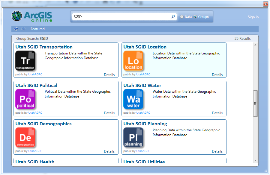
AGRC is pleased to be able to provide SGID layers as a service in ArcGIS Online (AGOL). For many years AGRC has allowed everyone and anyone to connect to the SGID database with what has been termed an SDE application Server Connect. With advancements in ArcGIS technologies and products, we are no longer able to offer this method of connection to users. We offer Direct Connects to users inside the state of Utah government network and most users are already using this method. For those outside the State of Utah government network, effective Wednesday August 31st 2016 this service will be unavailable. AGRC recognizes that this creates an issue for a number of clients, so we have created another way for users to access SGID data as a service (DaaS). In the ArcMap software users are able to add data from AGOL by using the add data drop down. This does not require you to log in to AGOL - you do that if you need to access your personal content or content shared with you. Choose Groups and search for SGID. Once you are at this point you should be able to click on the group and find the feature layers you want to use.
The add data button

The screen you will be presented with after searching for the SGID group
