By JP on Oct 28, 2013
Utah Broadband Project Update
This article will take 1 minute to read
 The Utah Broadband Project, a joint effort between the Utah Public Service Commission, the Governor's Office of Economic Development, and the Automated Geographic Reference Center, recently submitted the latest version of the Utah broadband dataset to the National Telecommunications and Information Administration (NTIA). Every 6 months AGRC works with the 50+ broadband providers in Utah to update their service areas in the broadband dataset. This was the 8th data submission to the NTIA by the Broadband Project.
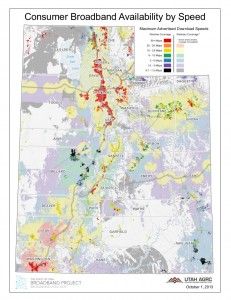
The latest broadband data in GIS format is available under Utilities on AGRC's website. The broadband data maps the coverage areas of broadband providers in Utah, what transmission technologies are used, and the maximum advertised speeds per area.
The Broadband Project and AGRC produces a broadband-themed map once a month, and all of these maps are available on the Utah Broadband Project's Blog under Map of the Month. The latest Map of the Month, October 2013: Utah’s Changing Broadband Landscape, highlighted how much advertised broadband speeds have changed since the project started. Also, be sure to check out the Utah Broadband Interactive Map, where you can type in an address or place and see what broadband providers are available at that location and the Map Resources Page.